Friday, July 28, 2017

7-25/26-2017 Santa Fe/Taos

We absolutely love the cooler weather of the New Mexico mountains, but seems we picked a week that is having a high percentage for afternoon thunderstorms. On our way to Santa Fe from Pecos, we did find one, got to wear the rain suits for a few miles.

So far, the storms don't last long. They're wide enough apart, you can ride close before suiting up. And many times, running thru the mountains, the road will turn and you can "thread the needle" between showers. Not bad, yet, though rain chances are increasing every day.

While overnighting in Santa Fe, we found some references to two National Monuments that were located near Los Alamos.

The first one we went to was the Manhattan Project National Historic Park.


The Ranger told us this was the newest NPS spot in New Mexico, only open for six months. So far, they only offer a short film on the development of the atom bomb. It's a very small place, occupying a space approx 20' x 20', the theater room only accommodates 6 chairs.

The Rangers expressed some disappointment in the offerings, but alluded to the fact that all of the historical buildings were still "behind the fence", as in classified. Hopes are one day much of it will be open to visitors.

The Visitor Center is located downtown Los Alamos. GPS will take you to the correct city block, but the actual Center is on the opposite side of the street, the only marking is the small sign above. But, they did have a passport stamp, but no lapel pins.

From there, we went to the Bandelier National Monument. Their directions indicated a center just outside Los Alamos, but it was actually only a bus stop. You are not allowed to drive to Bandelier, all visitors must use the bus..  so we rode the bus. Very crowded bus. No opportunity for photos, which should have been nice on a very long, crowded entrance road.

When we arrived, they had a nice Visitor Center and film, a book store and small cafe...  just drinks & snacks. What I neglected to find out, all the excavated sites are hike in only, so all I got was the passport stamped and a lapel pin. Ah well, add another to the book. Bandelier is a large place, 33k+ acres big. You can read about it here:  https://www.nps.gov/band/index.htm

From here, we headed north to Taos. I'd read about the Rio Grande Gorge, and the bridge across it. A must see, even tho none of the sites in the area are NPS sites, they are still very beautiful.

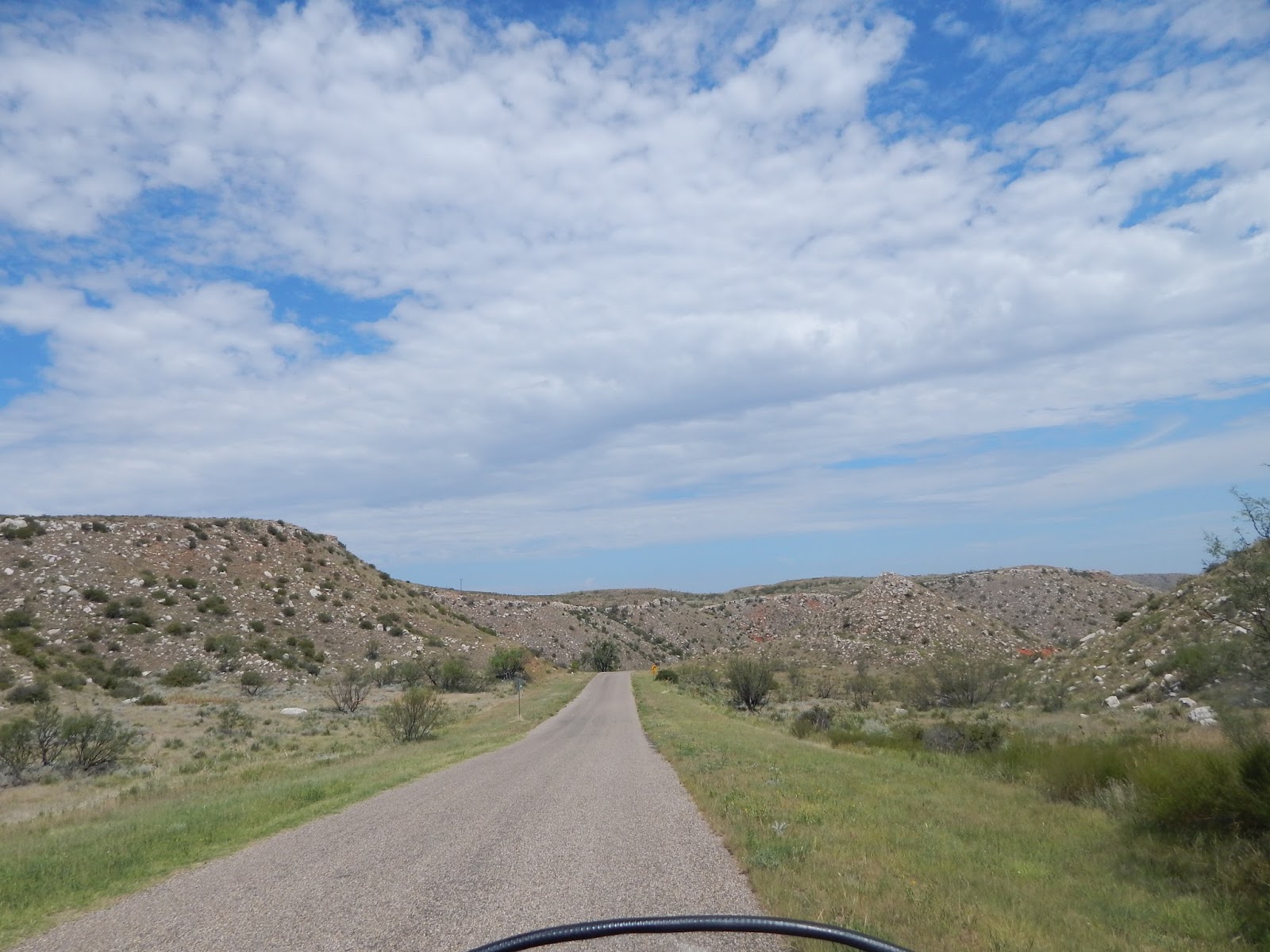
We rode alongside the river for a good ways while traveling to Taos.  Nice hills on either side, lots of rafters riding the river.


A short ride out of Taos, brought us to the bridge & gorge I wanted to see. There was plenty of parking and walkways out over the gorge for pics.

The Rio Grande River Gorge bridge


... and views from the bridge


Back to Taos to overnight. Next morning, we rode part of what the locals call The Enchanted Circle, north & east of Taos. Sadly we are headed home, the rain chances are increasing to 60-80% for the next four or five days.

To aggravate matters, the storage card in my camera got corrupted (what the camera said) so we lost many photos of the ride out. What few there is, are below. Suffice it to say, it's a very nice ride thru the mountains, up to 9800' elevation, before bottoming out on the way to Raton.


One of the many parks along the route


And we are now back in the hot, humid, skeeter infested homeland. So looking forward to riding the mountains around Maggie Valley in a couple of months. Gotta rest up and get the chores done around here.

As always, click on a photo to enlarge, pixel content is good enough for further enlargement on you machine, if desired.

Thanks for viewing, comments & recommendations welcome.

Monday, July 24, 2017

7/23-24/2017 Too hot to sit still

After attending Dad's funeral, we returned home.... to all too mundane chores. Mowing a 1/2 acre of grass, upkeep & maintenance on two vehicles and a motorcycle trike. And it's pushing 100* every cotton-pickin' day!

The wife's family had a family reunion planned for the 22nd in Bridgeport, Tx and we planned to attend. But... since we were already 200+ miles north of home base, why not keep going?? It's a good analytical mind I got here, I tell ya.

So, as the reunion wound down, renewed acquaintances with folks, we headed out. Since we were headed for the mountains of New Mexico, we might as well add some more passport stamps to our National Parks Passport.  We rode as far as Vernon Texas after the reunion, overnighted there.

On Sunday 7/23, we found ourselves near Fritch, Tx and Lake Meredith National Recreation Area, and the Alibates Flint Quarries National Monument.


We went to Alibates first, watched the film on it's history, got the Passport stamped and a lapel pin for the collection. A few views of the land of flint for early American's tools & weapons.


And we drove around Lake Meredith, wishing we were out boating with those on the lake.


But, these 100* days were wearing on us, so we turned the trike WNW again, made it as far as Dalhart, Tx for the overnight.

On Monday, 7/24, we arose early, gonna beat the heat, ya know?? Damn but Murphy struck... it was 61* this morning. Had to unpack the jackets until the sun arose substantially.

My reasoning was to also be early to our first stop, the Capulin Volcano NM. Well... we were early alright. Changed time zones. Why don't I ever remember those? But, plenty of time for  leisurely breakfast at a Love's Truck Stop... there's slim pickings along here. But Capulin was there


...and a few views from the top and road up


From the bottom looking up. Not too tall, about 800' above the surrounding area. Total elevation was around 7000'


The next two photos are of the crater at the top of the volcano. Nope, I did not hike to the bottom.


We got the passport stamp and pin, then headed over to I-25 south, to Watrous, NM, to visit the remains of Fort Union, garrison for troops protecting the Santa Fe Trail. (There are still wagon wheel ruts on the trail, that can be viewed from the road into Ft Union)


This is a large place. We viewed the film, as all NP films it was very interesting. Got the passpoort stamped, got the lapel pin, then left the Visitor Center to wander.


The above pics are of the hospital for the Fort and area residents. It was said to have the best medical care for a 500 mile radius. I guess that's good for the late 1800's

It was impossible to take in the entirety of the old Fort ruins. Pics up close didn't convey the immensity of the place. So, we took this from way down the road.


We were kinda rushing as we were leaving, rain showers moving in. We headed on south, for Pecos NM,  to visit the Pecos NHP.  A place the Spaniards had settled/seized in the early 1600's, used the local Indians (most say forced) to build a great Church and grounds.


This church was over 4 stories high, I forget how many miles of stone fencing for the village.


There was this large, underground room. I *think* perhaps it was used for grain/food storage. We didn't climb down to see the extent of the room, the ladder didn't seem robust enough to hold my big butt.. and the wife kept thinking spiders & snakes.  Nope


The park people seem to keep working on the place. Here, it looked like they were marking out an old graveyard.


We wandered this site for some time, until a rumble in the distance kinda goosed us into gear, to head for Santa Fe for the night....  and look at the long range weather forecast.   :)

As always, you can click on a picture to enlarge it. Their pixel content should be sufficient for further enlarging by your computer.

Ride safe.

Tuesday, July 4, 2017

6/27/2017 Bad news

Early on this morning, before leaving Lewistown, MT, I received word that my Dad had passed. So our tour of this part of our country must end.

We parted ways with our riding partners, and headed south for the Texas panhandle by the most expedient route, riding Interstate highways most of the way.

We had planned to make it a two day trip, since it was 1300+ miles. We stopped in Casper Wy for a quick bite, and the wife suggested getting a motel there, but since Cheyenne was about the half-way point I wanted to push on.

We made Cheyenne just at dark-fall. We must have checked a dozen motels, along the Interstate and secondary roads... no vacancies. Seems there is a lot of work happening at the AFB there. We made a quick stop at the local WalMart for warmer clothes (sweat suits) then continued south.

Denver...  same no vacancy signs in all the motels we checked, we headed for Limon, CO. Surely something there, being a smaller town with lots of motels?  Nope...

Soooo,  we iron-butted it. The wife can now say she has ridden one, tho undocumented. We stopped for a break at the little roadside picnic area in the Oklahoma panhandle, dozed for a few minutes, then continued on.

We arrived in Lubbock around 3pm. The extra day did allow for tying up loose ends for Dad's funeral, which was on Friday, the 30th. Younger brother Manny had done most all the leg work for this, which made it easier for the rest of us.

We don't have any other rides planned for a while. July & August are terribly hot for motorcycling distances in this area. At the present, we have no plans until our group reunion at Maggie Valley, NC the first week of September.

Ya'll stay safe


6/25 & 26/2017 Wyoming & Montana

We left our little cabins in Hermosa, SD headed north westerly. Following secondary roads, we saw some beautiful countryside. Just a short ride from the cabin


And, just a short ride from the state line, we could see the outline of The Devil's Tower, where we were headed for our first stop on the Passport tour.


The rock formation must have been a heck of a landmark for those early western travelers.


No trike pic at the sign, traffic was too heavy. Found out, today was a "free" day for admission. I don't know if this contributed to the crowd, or if it's always this busy on the weekend. You can't see them in the photo, but there were climbers on the tower. Sheer rock, and straight up. Ya'll go ahead, I'll watch.

From the Tower, we continued to Buffalo, Wy to overnight, then northward again, on Interstate this time.

Crossing over into Montana, again watching beautiful scenery.


The city in the distance is Billings, but we didn't stop. Instead, headed on north to Little Big Horn Battlefield. Custer's last stand...


The battlefield was nothing like we've seen in the movies. The markers for the fallen were widely dispersed, showing a running battle over a very wide area. The pics below are artist's rendering of the battles, displayed at the Visitor's center.


Also, unknown to me and others I've spoken to, there is a National Cemetery located at the Battlefield. It contains the remains of soldiers & Indians alike from the battle, and from other forts located on the plains. Also interred here are "modern day" soldiers. We saw markers from WW1 & 2, up to Vietnam. The cemetery is full, it quit taking remains in 1978.


From here we're headed to Glacier National Park. We rode as far as Lewistown to over night.